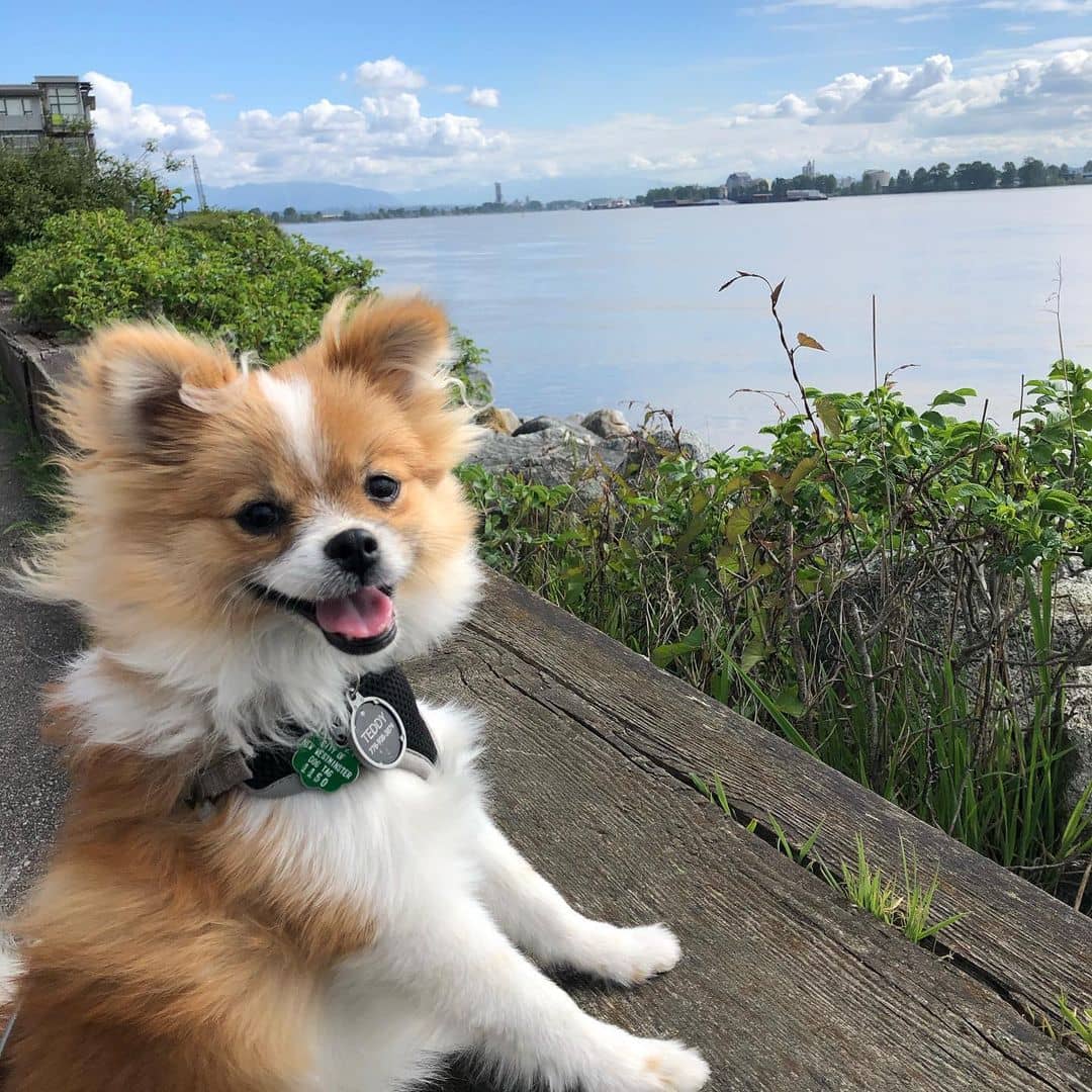
Lied at the confluence of the Pacific Ocean and Fraser River, Richmond has blossomed into a thriving green space.
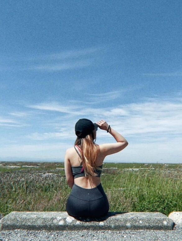
It’s home to many parks and green spaces, so it’s no surprise that Richmond has some great trails for a casual walk, run or hike!
Now here’s the deal: how can you tell which trail is the most scenic and coordinates your fitness level? Hang in there because we’ve got your back! We collected the ten best trails in Richmond and put them in a sequence based on elevation gain to help you find the right one for your physical health.
1. Horseshoe Slough Trail
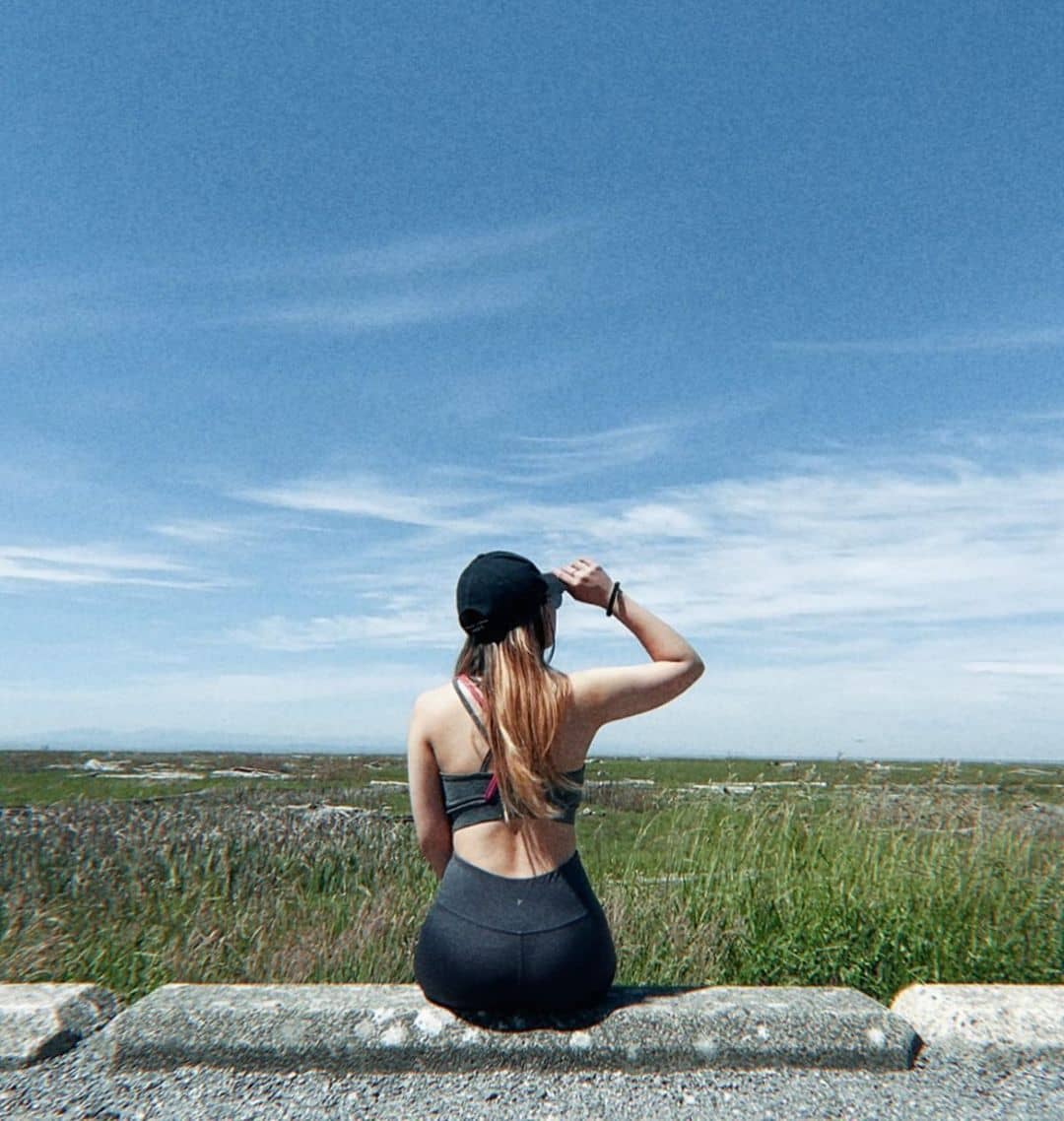
Beginners and novice hikers should take on Horseshoe Slough Trail to engage their cores. Horseshoe Slough Trail snakes through the peaceful and rural areas of Richmond with an elevation gain of two meters and an acceptable length of under two kilometers.
The easy hike is flanked by thin forests bridging the South Dyke and Shell Road Recreation Trail. Horseshoe Slough Trail becomes a big hook for outdoors enthusiasts thanks to shady and cool surrounds. At some points of the trails, you will cross over bridges and spot the historic Horseshoe Slough.
Head westbound from the No.5 Road to enter Woodward’s Landing Park. From there you will see two pathways. The one running along the west side is flatter and wider compared to the east side, which is favored by those who want to game up their skills on a narrower and challenging hike.
Elevation Gain: 2m.
Length: 1.8 km.
Address: 12151 Shell Rd, Richmond, BC V7A 3W9.
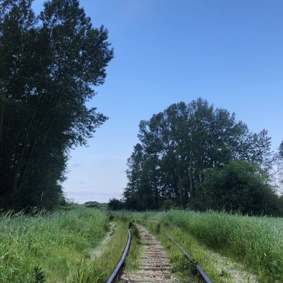
2. Railway Greenway
Hugging the Railway Avenue in Richmond, Railway Greenway is a colorful rural trail soaked in a blanket of wildflowers. Running for less than five kilometers with an elevation gain of only three meters, Railway Greenway anchors Fraser Middle Arm with the stunning waterfronts of Steveston.
This is one of the easiest trails for bikers who want to reconnect with the lush greenery while engaging their cores. Railway Greenway is attached with multiple highly recognized attractions. One of the most popular points of interest is the excellent habitat of Terra Nova Rural Park. The heritage building of Britannia Shipyards and Imperial Landing Waterfront Park are also parts of the trail!
Elevation Gain: 3 m.
Length: 4.5 km.
Address: Richmond, BC V7C 1A9.
3. Richmond Nature Park
Richmond Nature Park is one of the most popular parks in the city with a thick and budding carpet of vegetation. The network of trails veining through this park is narrow and meticulously fenced with tall hedges.
This trail sends you to a maze when you’re strengthening your core. These trimmed bushes make distant views an impossibility so you shouldn’t expect a scenic prospect of the mountains or so!
What sets it apart from other trails in the city is a perfect preservation of peat bog, making it a perfect eco-biodiversity feeding your eyes.
More than just a wild display of nature, the Richmond Nature Park trail invites a weekend day out with your kids as you can give their workout a touch of biography lessons along the way, especially with a stop at the Nature House. Keep a close eye on the weather since the trail is prone to being muddy on a wet day!
Elevation Gain: 3 m.
Length: 1.8 km.
Address: 11851 Westminster Hwy, Richmond, BC V6X 1B4.
4. Riverport Trail
Riverport is a short waterfront paved way hugging the south arm of Fraser River. With a medium elevation gain of eight meters and a short distance of just over one kilometer, Riverport is a comfortable call even for beginners.
Its proximity to the Entertainment Boulevard lets you keep up with the main happenings in town on any day of the week. When you enter the beginning of the trail, don’t miss out on the lookouts and rest areas scattered along the dyke.
Meanwhile, the latter half of the trail is filled with smooth gravels where you can beat on the trail loop before resting your tired bones on a bench. If you follow the trail until the end, notice a little overgrown section beyond the gravel part where you can enjoy lots of street art and graffiti.
Elevation Gain: 8 meters.
Length: 1.3 km.
Address: 14000 Riverport Way, Richmond, BC V6W 1B1.
5. Shell Road Trail
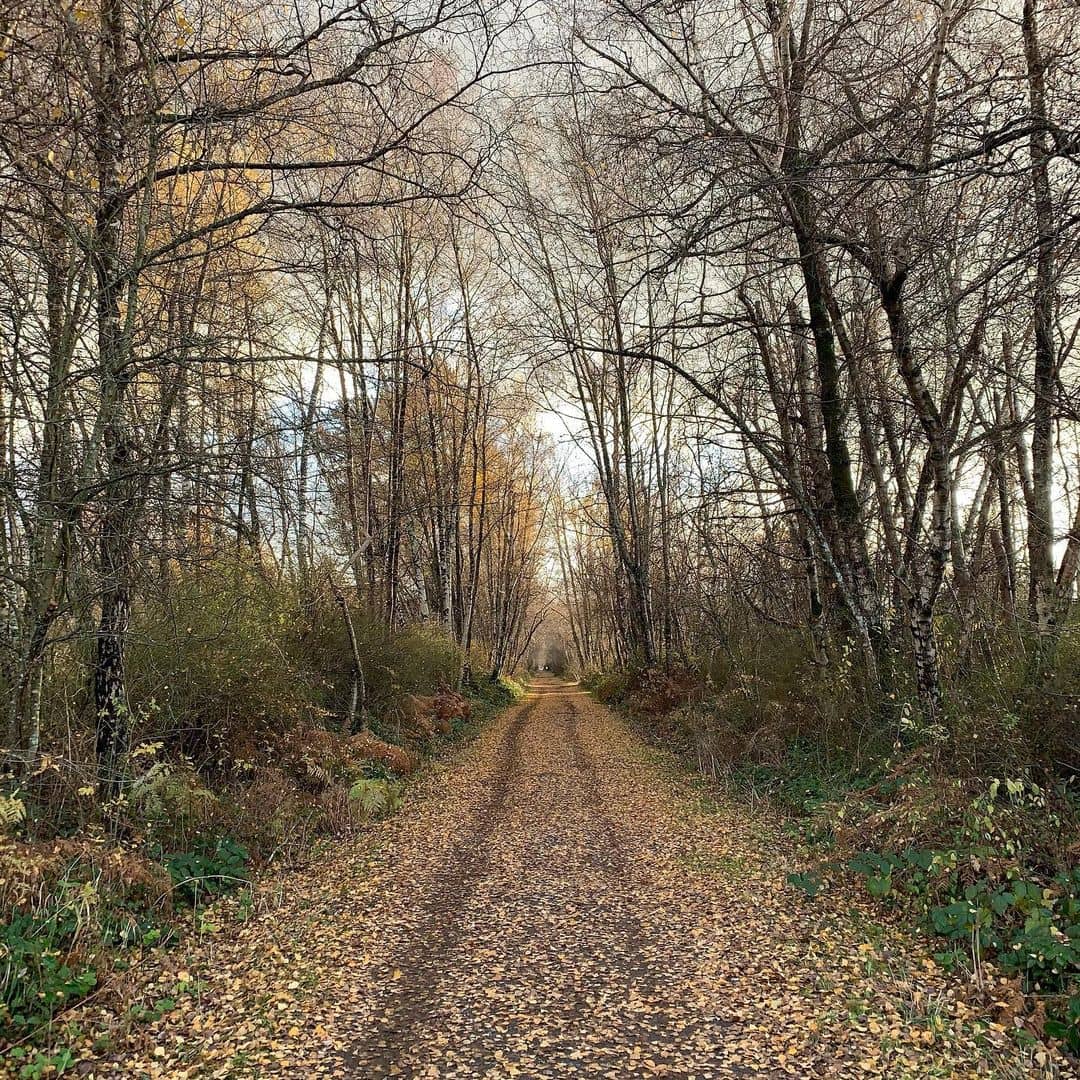
Are you willing to climb up to ten meters for over six kilometers in exchange for a shady escape with tall trees and thriving shrubs? If that’s a yes, Shell Road Trail is where your heart is!
This long interior trail is a series of well-maintained walks bounding south and north of the Shell Road corridor. This secluded tree area beholds a so-called “green necklace” of Richmond – Paulik Neighborhood Park along with multiple green oases such as Bike Terrain park and Garden City.
Elevation Gain: 10 m.
Length: 6.3 km.
Address: 10871 Anglesea Dr, Richmond, BC V7A 3B7.
6. Iona Jetty
The straight-up gravel-paved way of Iona Jetty makes it one of the coolest trails in Richmond. Iona Jetty is a stone’s throw from the airport in Richmond and jutting out to the Strait of Georgia.
This terrific spot has its torch on the unobstructed ocean view and the mountains of North Vancouver. Even though the gain reaches over 10 meters, Iona Jetty is considerably flat that all types of fitness levels can tackle.
If you wish to slow down the interval, consider walking along the sandy beach! One thing you need to keep in mind is that Iona Jetty is greatly exposed to the weather. Therefore, remember to put on a jacket or sunscreen on a windy or sunny day!
Elevation Gain: 11 meters.
Length: 8.2 km.
Address: Ferguson Rd, Richmond, BC V7B 0A8.
7. Middle Arm Recreational Trail
This easy, curved trail is kissed by the mild river on one side and hugged by green space and a bustling neighborhood on the other side. The Middle Arm trail is wider compared to other forest trails in the backcountry. However, the lack of shade requires you to take an extra effort to arm up with a jacket and sunscreen.
Since the path is not fenced by bushes or tall trees, scenic view seekers will fall in love with this trail. The calm waters are sometimes disturbed by float planes taking off and landing, making it a fun moment to slow down and take a picture.
Middle Arm trail is attached with the famous West Dyke trail and linked to Sea Island trail via No.2 Road Bridge.
Elevation Gain: 21 m.
Length: 9.5 km.
Address: 7411 River Rd, Richmond, BC V6X 2W4.
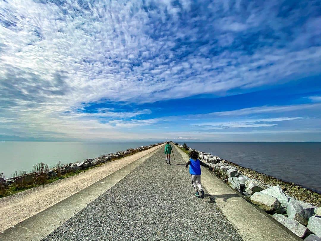
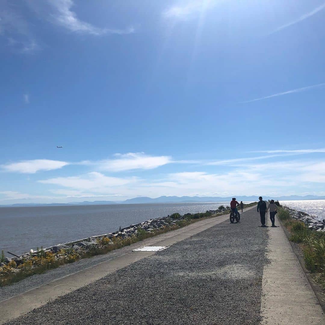
8. West Dyke Recreational Trail
West Dyke is a moderately trafficked out and back trail that offers a stunning view along the breezy wilderness. This graveled trail is adjacent to Sturgeon Banks where you can embrace the unparalleled view over Coastal and North Shore mountains.
You can take your pooch out for a run early in the morning while contemplating the dramatic summer sunrise. West Dyke is a budding mashup of the wild habitat. Since this part of the estuary is in line with the Pacific Flyway, you should expect to encounter migrating birds setting foot along the sandy beaches during your walk.
The end of West Dyke trail meets the famous Terra Nova Rural Park jutting out from the northwest of the island. These incredible green oases play host to millions of wintering birds, hawks, and owls.
Elevation Gain: 24 m.
Length: 11.9 km.
Address: 2611 River Rd, Richmond, BC V7C 1A1.
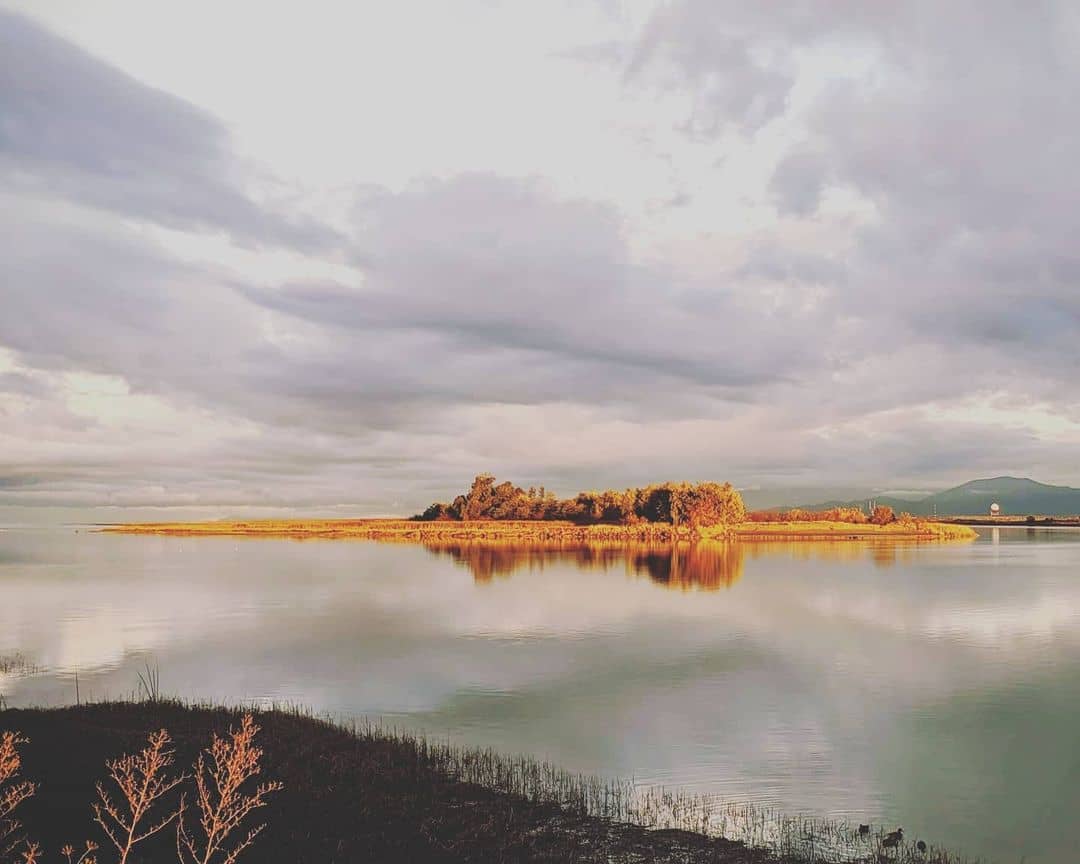
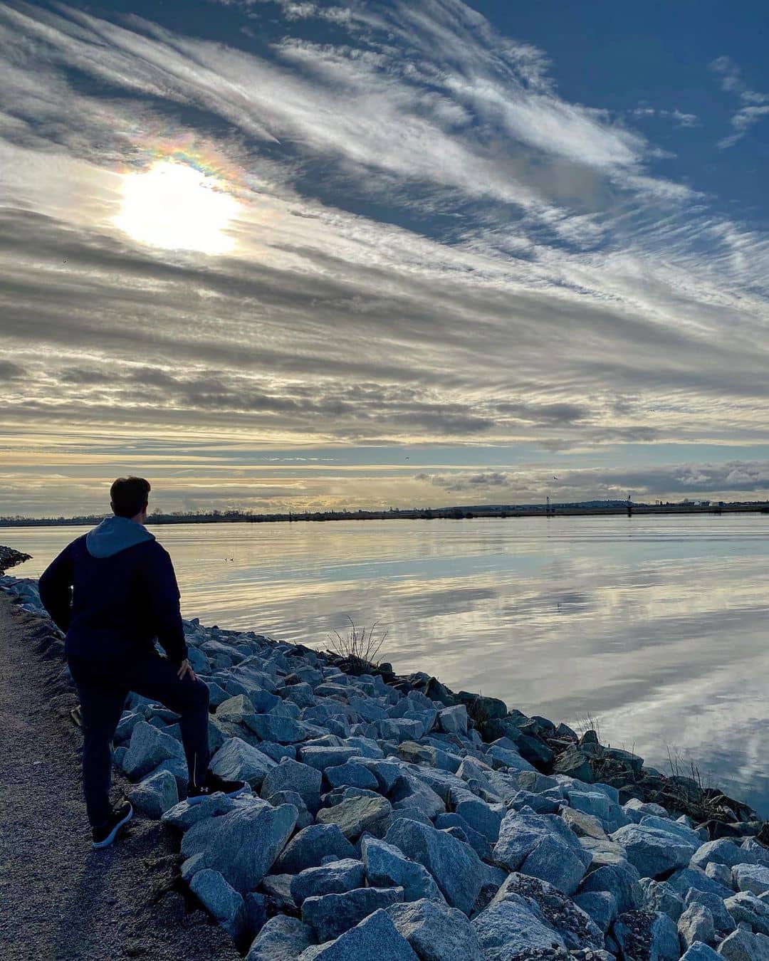
9. Iona Beach Trail
Iona Beach trail is a mashup of terrains filling up five kilometers of the trail. There are multiple different sections to test your skills. Some of the paved sections make way for muddy paths flanked by wildflowers and grasses on both sides.
The beginning of the trail is fairly easy for any type of walker and biker but it’s getting tricky if you go to the end, detour, and follow the beach on the way back out.
Those who wish to embrace the stunning sea casted with sun glitters should follow the log-strewn beach. Even though these sections are not a walk in the park, you will be rewarded with an absolute serenity and a gorgeous sunset view!
The sound of the tide crashing in is so soothing and the salty smell will make it up for the challenging trail you just conquered! Dogs are allowed with you but they can only run on the beach.
Elevation Gain: 24 m.
Length: 4.8 km.
Address: 900 Ferguson Rd, Richmond, BC V7B 1W7.
10. South Dyke Trail
Get in here pro hikers! If all of the Richmond trails above cannot bring you to your knees, it’s time to conquer one of the highest elevation gains!
Even though the climb can be a little sweaty, South Dyke Trail is not going to give you a hard time! Instead, you’d be content and with the rewarding view along the Fraser River. This scenic trail is sandwiched between residential buildings on one side and a mild ocean on the other side.
South Dyke Trail is also one of the most popular destinations for families, bikers, and dog walkers who want to beat the summer heat. This trail can be reached via the end of the No.2 Road and is completely soaked in a predominantly agricultural area.
Its prime location fits perfectly into your workout itinerary when combining the Interior Horseshoe slough and Shell Road.
Elevation Gain: 29 m.
Length: 8 km
Address: Richmond, BC V7A 4G1.
Richmond’s nature is so subtle and rich. It will be such a sad sight to make a farewell to this delightful city when you’re not having enough of its ecotherapy. Looking for more ideas to inspire your eyes? Check out these 13 best parks in Richmond for absolute green care and give your eyes a feast!